Indrajai
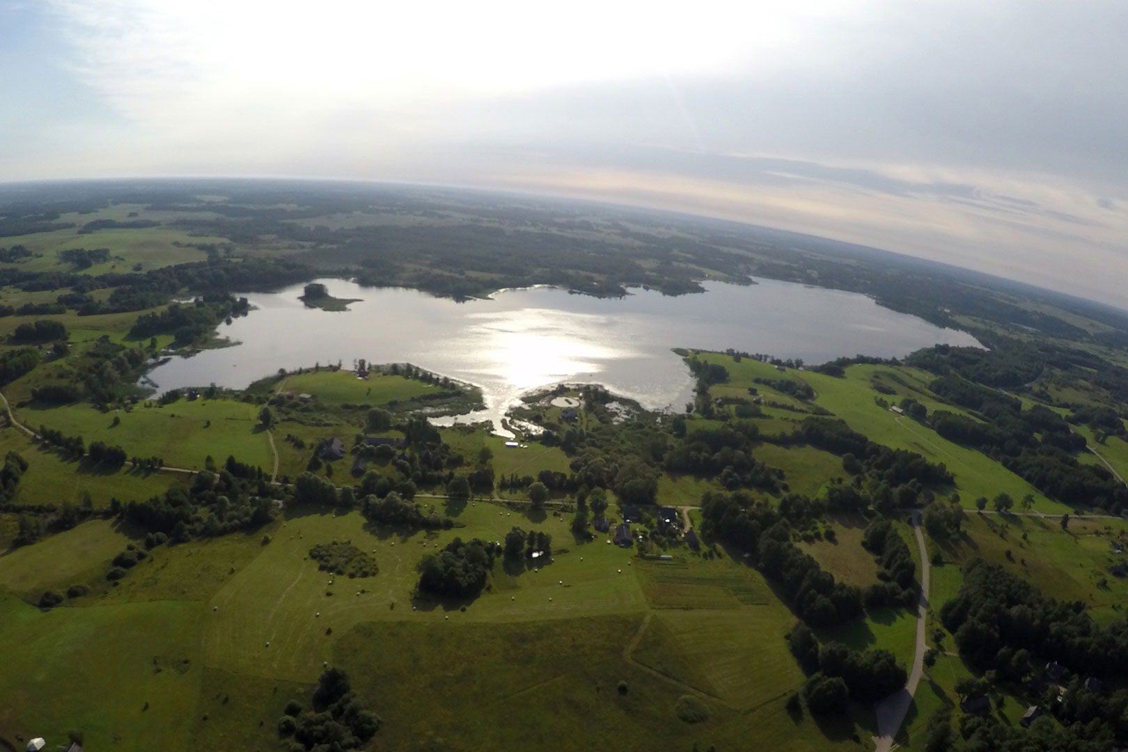
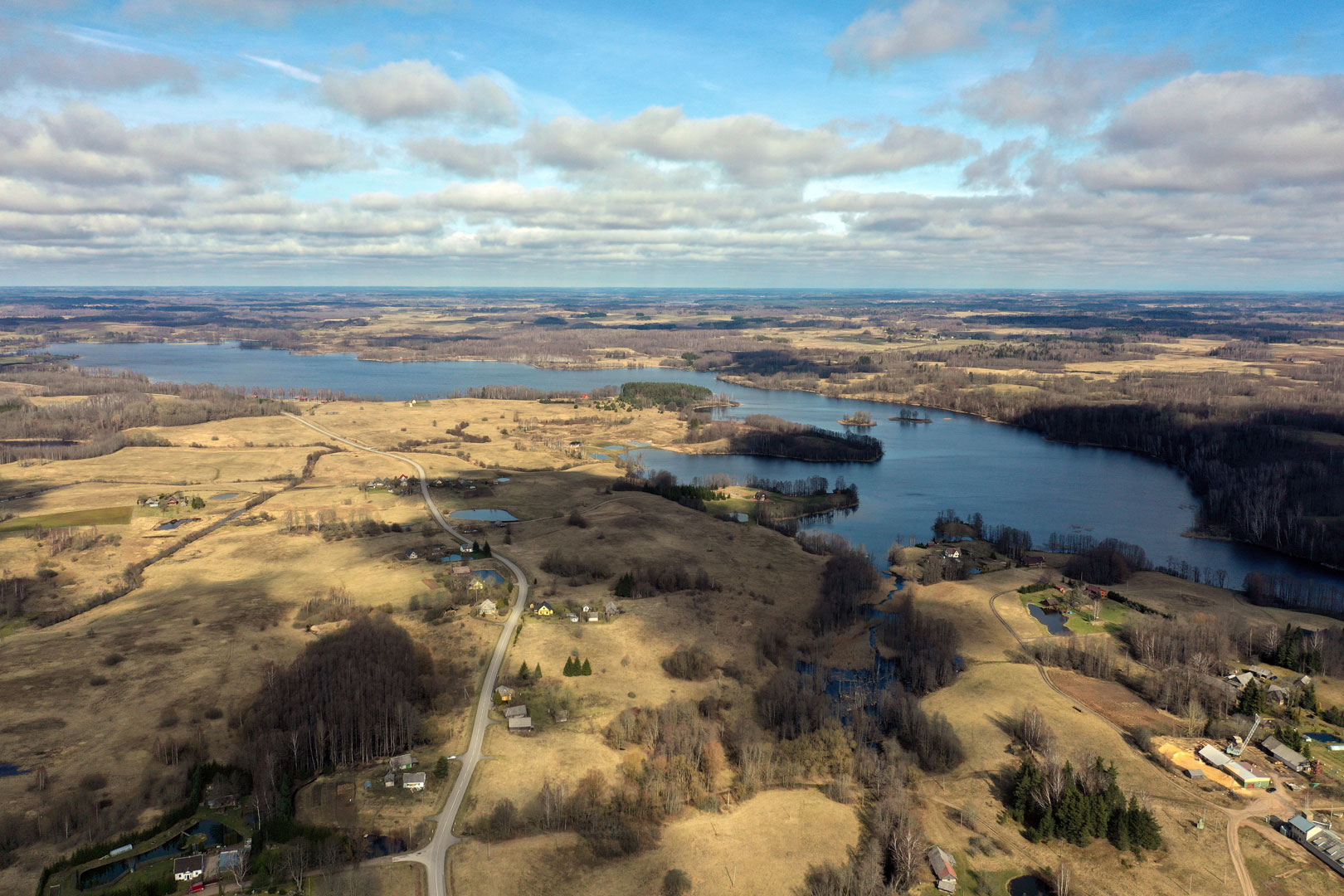
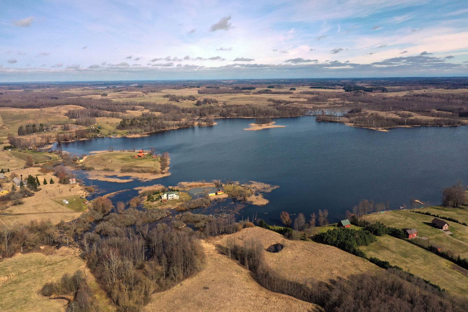
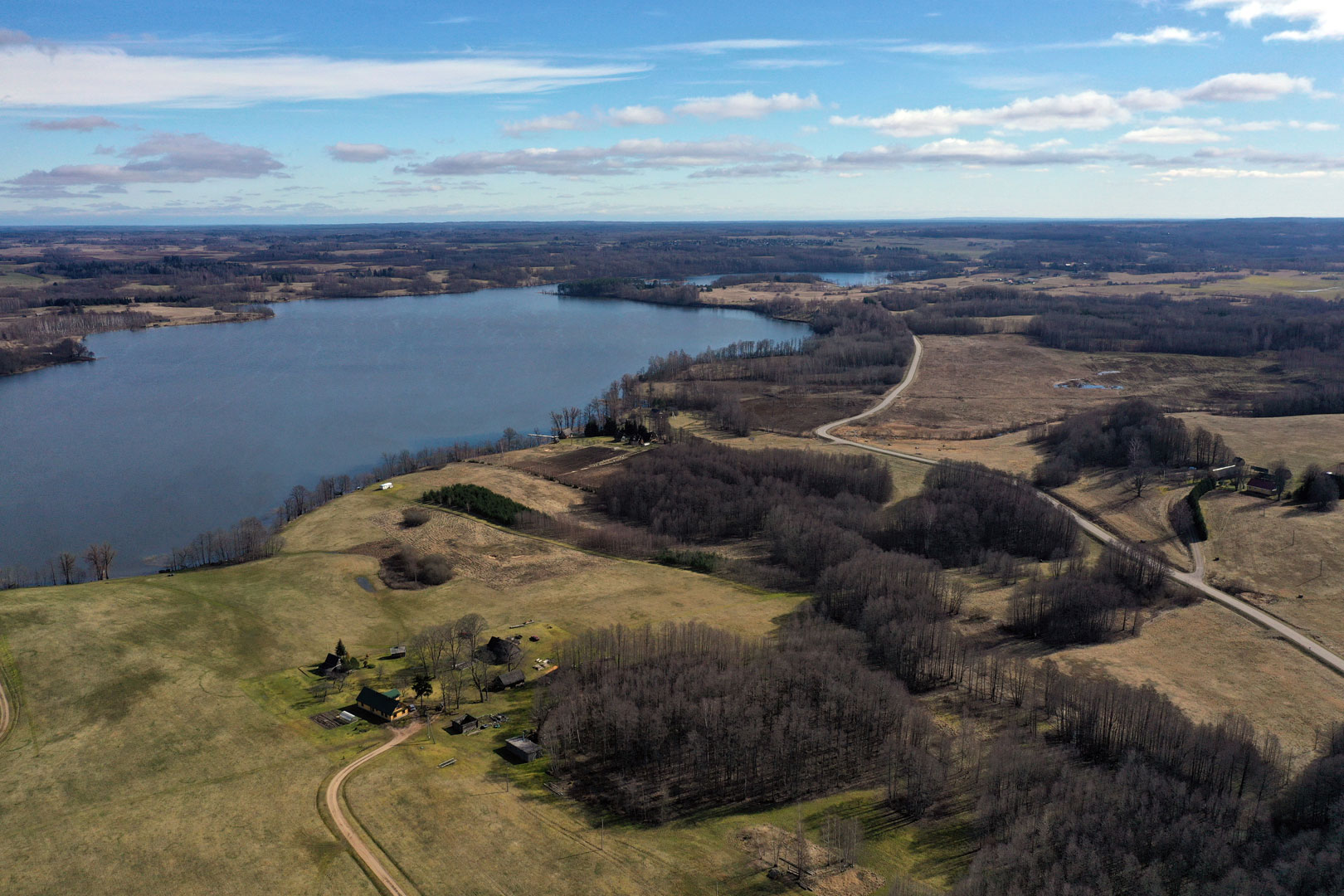
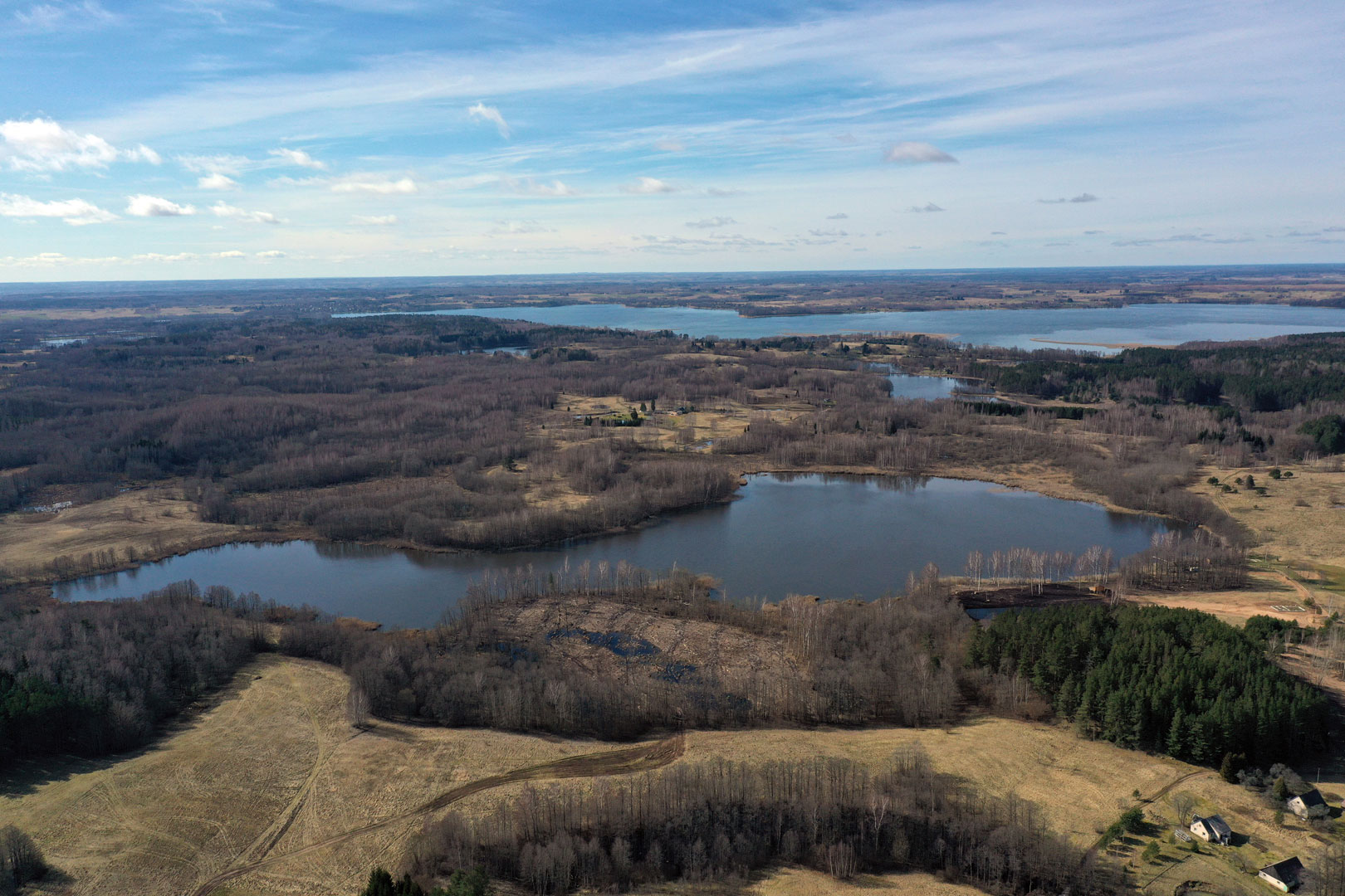
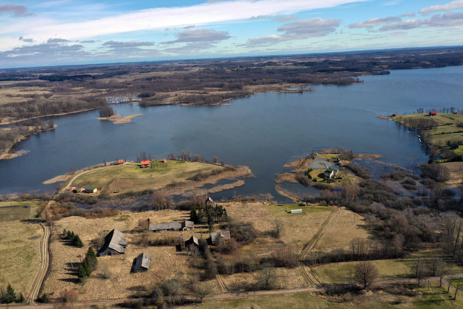
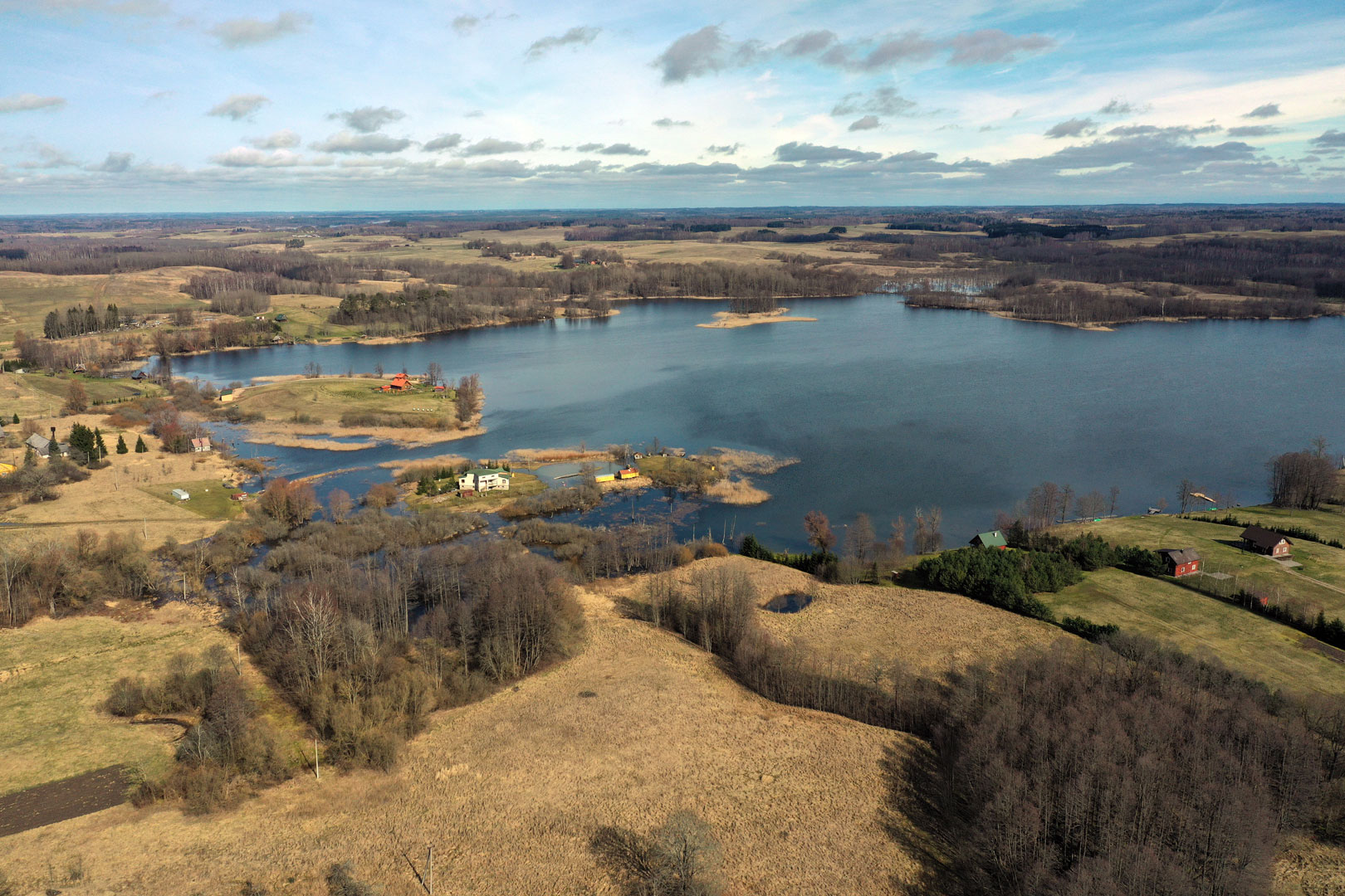
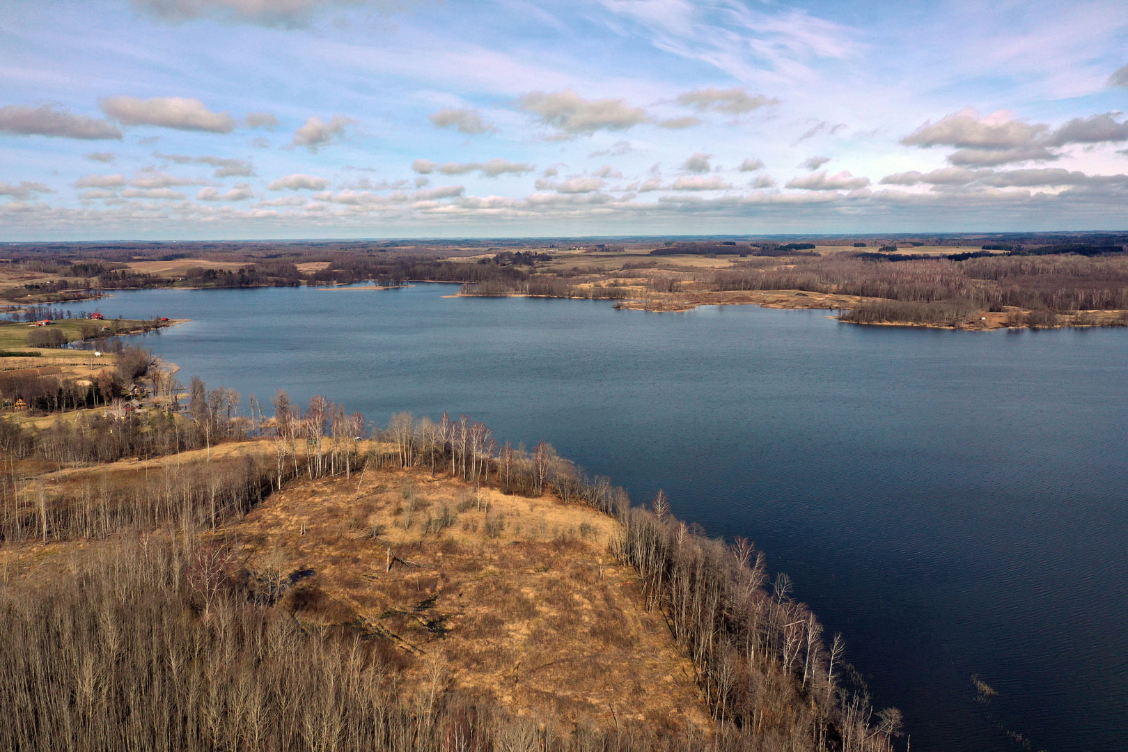
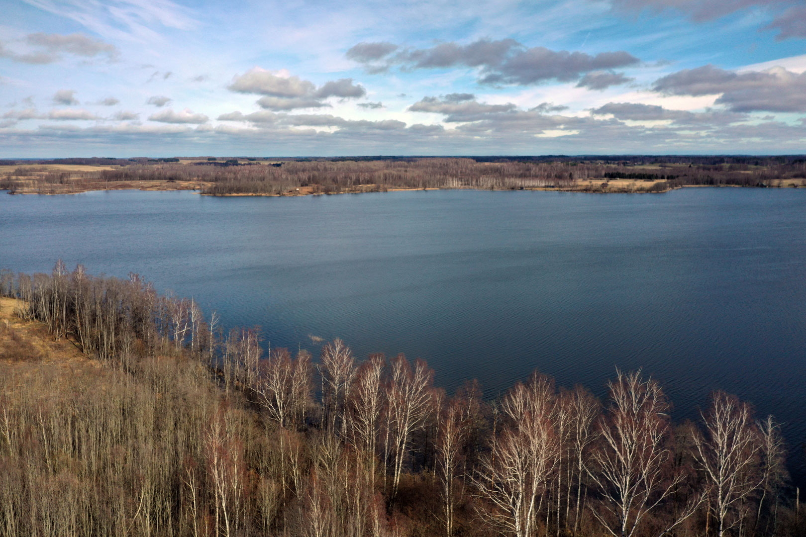
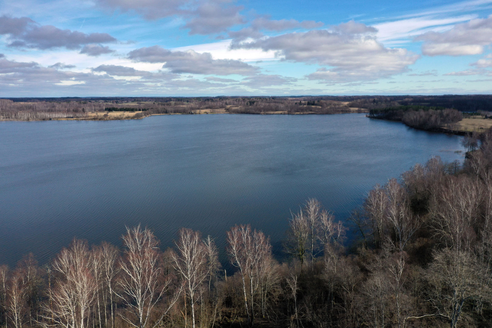
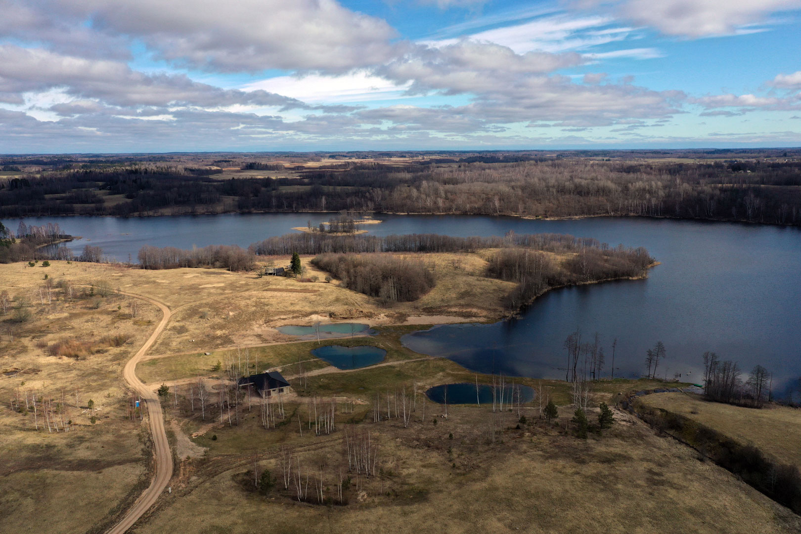
One of the largest lakes in Utena district (area 290.6 ha), situated not far from Daugailiai. The name comes from Lithuanian indrė, meaning „reed“. The lake is glacial trough, so it stretches 4.7 km from the north-west to the south-east; it is narrow (average width 0.65 km), winding (coastline 13 km), the banks are high and steep. The bottom is very broken and hollowly (the deepest hollow is in the very middle, 23.8 m). There are shallows in the lake, and even 4 of them emerge above the surface as islands (total area 1.5 ha). The volume of water in the lake is impressive – 23.5 m. m3. The lake is fed by a 63.2 km2 basin, which is drained by two largest inflows – Žirgė (flows into the northern part) and Taurokšnė (flows into the southern part) and also Indraja flowing through the lake. The level of water fluctuates 60-70 cm on average annually. On the banks there are villages of Antadraja, Bajoriškiai, Veleikiai, Statkūniškis and Šlaitai. The northern corner of the lake belongs to Zarasai district. Amateur anglers catch here basses, pikes, roach, rudds, tench, breams, silver carps. Country cottages which get permission to build footbridges on the banks of the lake constantly suffer from too big fluctuation of water, especially during drier years. Then footbridges with naked posts at the height of 1.5 meter really look miserably.