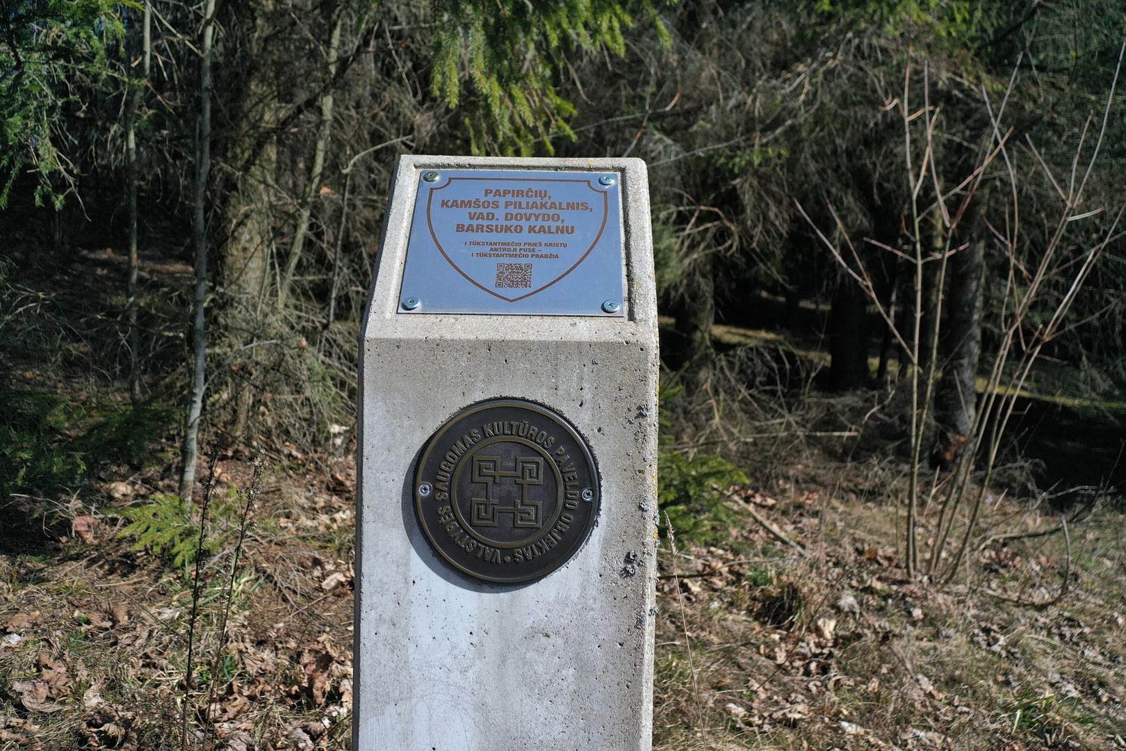
Papirčiai hillfort
Papirčiai hillfort (Dovydas‘ Mountain, Kamša, Papiliakalnis, hillfort, Badger‘s Mountain) and settlement are in the territory of Utena district municipality, north of Papirčiai village, Kuktiškės neighborhood. Accessible from the road Tauragnai – Kuktiškės turning left south-eastward to and past Ryliškiai, in Ryliškiai (Maleckažemis) turn left again eastward, down the road for 2.9km and further on, walk 300m straight on in the forest.
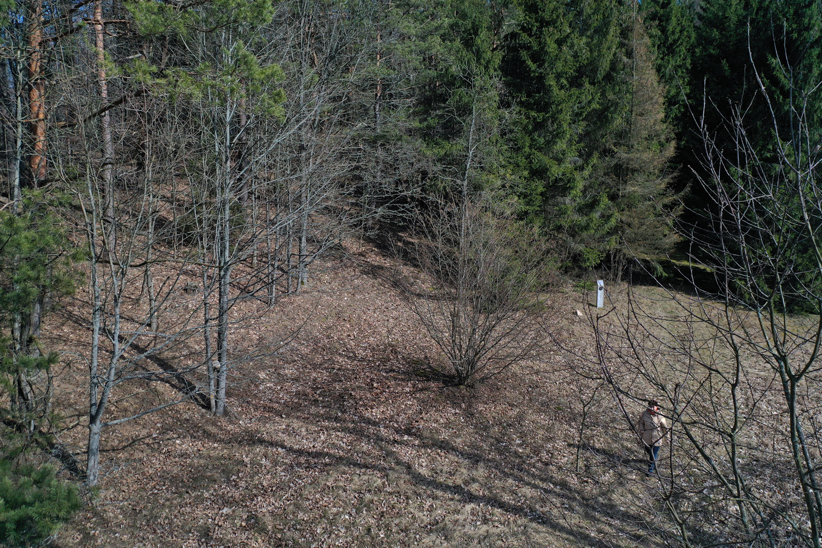
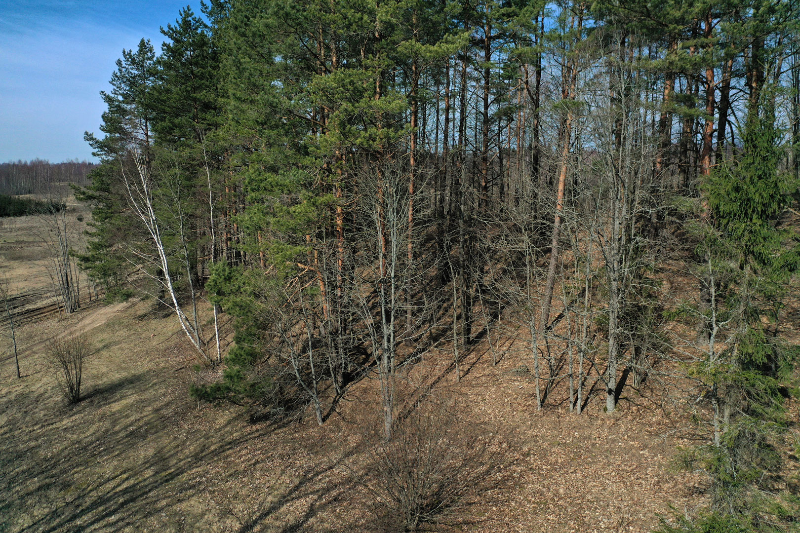
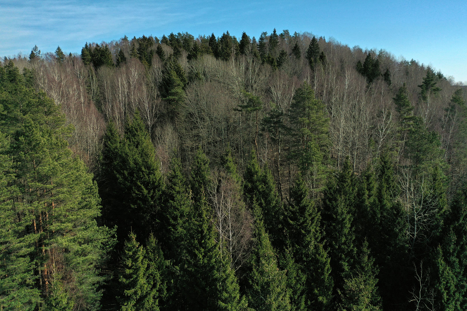
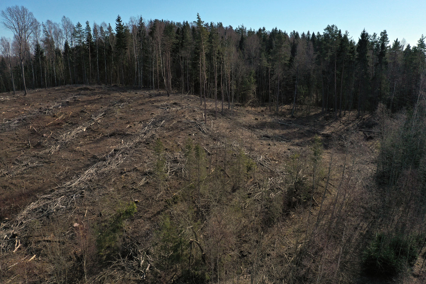
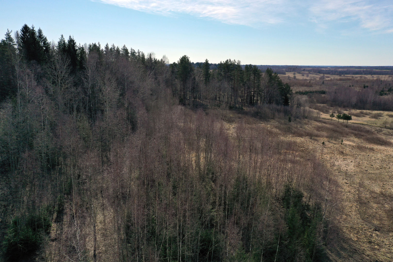
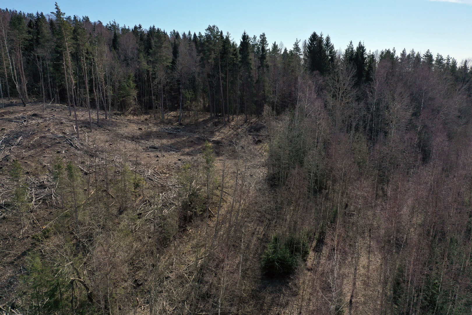
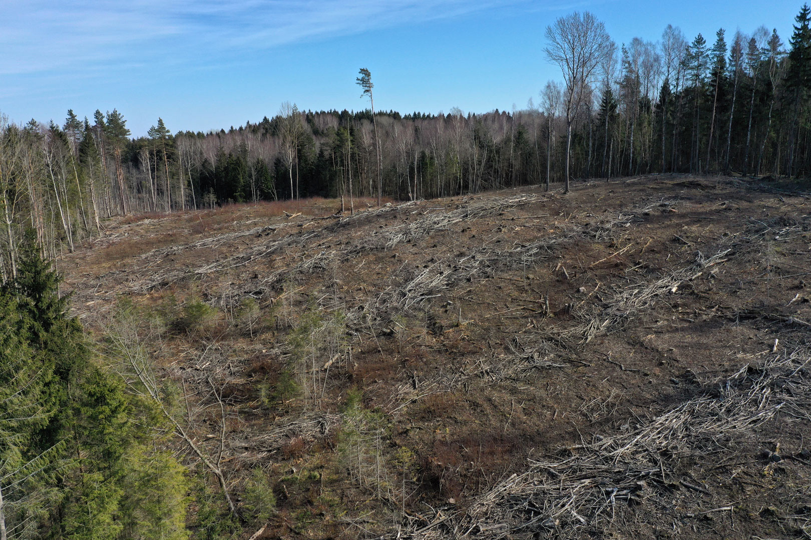
The hillfort was built on a high environ dominating hill (altitude 245.9m). The site 50x40m. Grinding millstones were found there. The slopes are inclined, up to 30m high.
The hillfort is damaged by ploughing, and the ditches of two triangulation towers that used to be there. It is overgrown with forest. During archeological exploration the traces of cultural layer were noticed. The hillfort dates back to the second half of the I millennium BC – the beginning of the I millennium AD. The area of the monument territory 13.8ha.